Favourites
Welcome to the Itinerary Planner. Use this tool to build your own journey or choose from an exciting range of specially selected tours.
To build your own Itinerary, click  to add an item to your Itinerary basket.

Welcome to the Itinerary Planner. Use this tool to build your own journey or choose from an exciting range of specially selected tours.
To build your own Itinerary, click to add an item to your Itinerary basket.

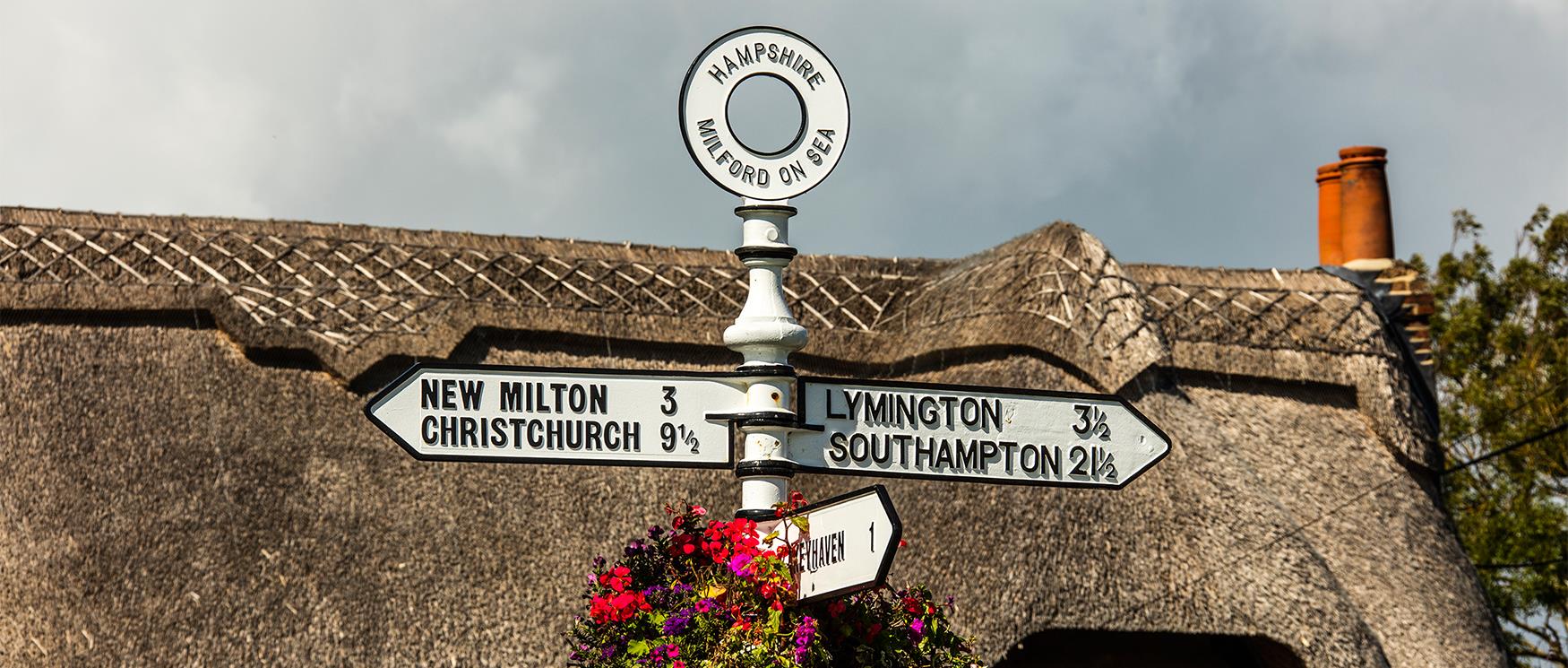
Bordered by Dorset, Wiltshire, Berkshire, Surrey and West Sussex, Hampshire is ideally located in the south east of England and is the gateway to the Isle of Wight.
Its excellent transport links makes it an easy getaway from London and the home counties for a day visit, as well as an ideal destination for a longer stay with hundreds of attractions to explore, varied landscape and two national parks.
See our Explore pages for information on Winchester, Portsmouth, Southampton, the New Forest, the Solent, Hampshire South Downs and our other key destinations in Hampshire.
Make your visit to Hampshire longer by booking accommodation and visit some of the counties top attractions and events.
Download the Hampshire destination guide for a map of the county and key attractions.
Hampshire Destination Guide PDF
Winchester Maps
Winchester City Centre Map PDF
Winchester City Area Map PDF
Winchester Touring Map PDF
The New Forest Maps
New Forest Map PDF
Southampton Maps
Southampton Key Attractions Map PDF
Southampton City Centre Map PDF
Southampton Cycling Map PDF
Southampton Old Town Map PDF
Portsmouth Maps
Portsmouth City Map PDF
Portsmouth Cycling Map PDF
For further brouchures and guides visit our downloads page.
For information on travelling in and around Hampshire visit our travel pages.
Copyright 2026 Visit Hampshire. All Rights Reserved
Take a look at the properties you can stay in that are managed by New Forest Cottages.
50 Things to do this summer
Free Days Out in Hampshire

